|
Mojave, 2007
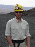
These photos are from a trip I made to the Zzyzx Desert Studies Center, in the Mojave Desert, in 2007 (the history of Zzyzx is fascinating, by the way). I went there as part of NASA's Spaceward Bound program, an outreach program aimed at science teachers. The general idea of the expedition was that the Mojave is a Mars analogue, a site where the geology and climate are in some ways comparable to Mars, such that looking at patterns of life in the Mojave could be useful in planning Mars exploration missions. A bunch of scientists were at Zzyzx with the teachers, leading expeditions to gather field data, give presentations, and generally to show us how science really works. The hope is that the teachers will bring the experience back to their classrooms and get their students excited about space exploration.
You can try to find me in the Spaceward Bound Mojave group photo; I'm standing right next to Mel, as it happens, although he is too short to be visible, situated as he unfortunately was in the back row.
I drove down with my Astrobiology professor, Dr. Monika Kress, and several students from that class. We camped out at a campsite at Zzyzx. On the way back, I drove up Highway 395 to Mono Lake and back across via Tahoe, so the last section of this page is from that return drive.
The "original photos" linked to from these pages are not the full-size originals (which are about 4MB each); contact me if you want a real original to make a print.
|
|
 |
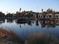
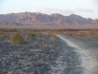
| Arrival at Zzyzx |
|
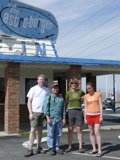
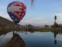
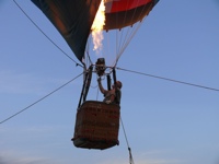
The first sign that we were getting close to a Mars analogue site was the Astroburger we encountered on Interstate 15 (sadly, it had gone out of business). When we got to Zzyzx, the balloon crew was testing out their equipment. The balloon was used later in the week to try to do aerial sensing of caves by thermal anomalies, an idea which could be used to find caves on Mars from orbit; but I didn't get to go up in it. |
|
|
|
|
|
|
|
|
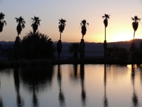
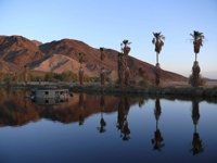
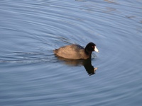
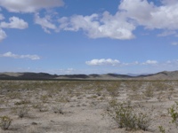
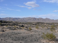
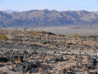
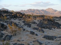
| Views of Zzyzx |
|
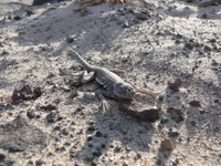
The Zzyzx Desert Studies Center was a really cool spot, a little oasis in the desert. Didn't see many insects there, but did encounter a blister beetle, Lytta magister, which was so exciting I forgot to take a photo of it; it was quite large! |
|
|
|
|
|
|
|
|
|
|
|
|
|
|
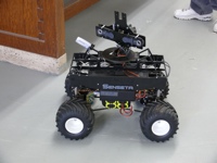
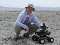
| The Rover |
|
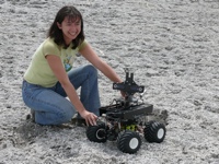
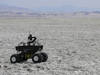
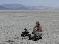
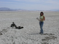
I spent my first morning playing with a rover that was set up by one of the scientists, Maite Trujillo San Martín (Maite is the woman is these photos who is not wearing a hat). We got it running inside the building first, then took it outside (with dead batteries, unfortunately) for a photo op. It was quite a challenge to get it running and keep it going, and it ran through batteries like crazy; it gave me great respect for the team that designed Spirit and Opportunity, the Mars rovers that have kept running way past their planned lifetime. |
|
|
|
|
|
|
|
|
|
|
|
|
|
|
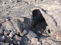
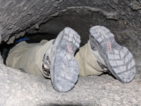
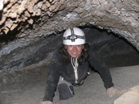
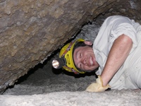
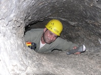
| Caving |
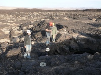
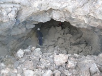
That afternoon I went on a caving expedition into some old lava tubes at a site near Zzyzx. The goal of the expedition, led by Mike Spilde and J. Judson "Jut" Wynne, was to plant some sensors at various sites in and around the caves, to help with the thermal cave sensing project mentioned earlier. Along the way, though, we had a lot of fun crawling around. The first photo is of my classmate Mike Lum, who won the "Most Dapper Camper Award" for reasons that are obvious in that photo; he camped in a palatial tent with a front doormat and a rug, and his chinos always had a crease. Check out Mike's fantastic blog of the Zzyzx trip for lots more photos, information and tales.
That evening, we stayed out so late that we missed dinner at Zzyzx, forcing us to stop on the way back for burgers and beer at a local spot called the Baghdad Café. We were, of course, heartbroken by that turn of events. |
|
|
|
|
|
|
|
|
|
|
|
|
|
|
|
|
|
|
|
|
|
|
|
|
|
|
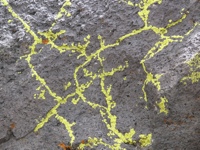
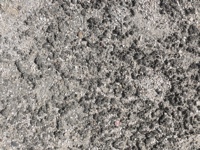
| Biological Crust Survey |
|
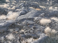
The next morning I went on an expedition to survey biological crust growth patterns. This trip was led by Jim Nienow. The goal was to determine whether the biological crust in the soil grew in the pattern of some sort of cellular automaton. There is reason to believe that such things are possible; see, e.g., this paper by Meron et al. (2002). The third photo here is of the actual biological crust we were surveying; I was the designated photographer for the expedition, and took a huge number of photos very much like this one, making a mosaic of close-up shots of several different sites for later analysis. To my eye, it is very clear that there is a pattern of some kind to the growth — it is not simply stochastic — and it does have a cellular automaton-like look to it. Jim plans to return in May 2007 with a chlorophyll-sensitive camera for further investigation. |
|
|
|
|
|
|
|
|
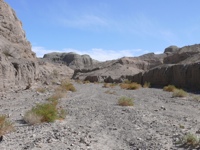
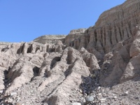
| Afton Canyon |
|
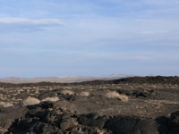
That afternoon I went on a brief hike led by Chris McKay in Afton Canyon, a nearby canyon which was carved by long-ago water in the Mojave. These photos show how quickly the weather can turn there; the time between the second and third photos is about half an hour, and it started to rain a few minutes later, making a lovely double rainbow which I didn't get a good photo of, since we were driving at that point... |
|
|
|
|
|
|
|
|
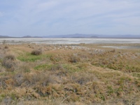
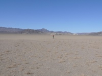
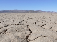
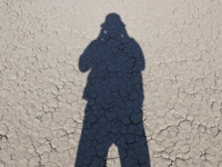
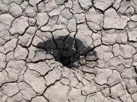
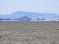
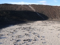
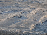
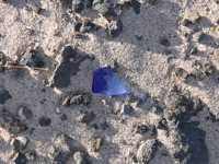
| Soda Dry Lake |
|
The next day I went on a day-long geology field trip led by Jon Rask and Kirsten Fristad. The ostensible purpose was to scope out sites of interest for future expeditions, but I think mostly we were just driving around looking at cool stuff, really. These shots are from Soda Dry Lake, just north of Baker on Highway 127. The next-to-last photo is of a sort of conical depression in the pan; we saw lots of these in the dry lake bed, and there was much speculation as to the possible cause. |
|
|
|
|
|
|
|
|
|
|
|
|
|
|
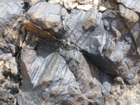
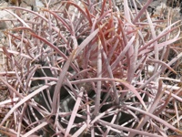
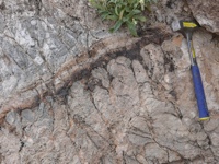
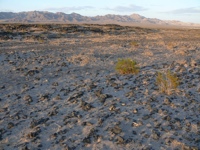
| Stromatolite Hunting |
|
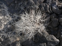
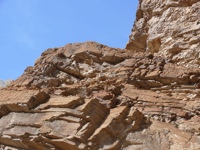
Continuing the geology field trip, we went to a spot further north where stromatolites are visible in the rock face of an eroding slope. The first photo shows some desert varnish on the rocks nearby. The second is a close-up of a barrel cactus, and the third is the best shot I got of the stromatolites we found. |
|
|
|
|
|
|
|
|
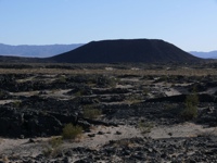
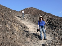
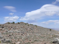
| Amboy Crater |
|
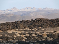
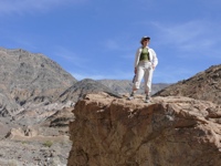
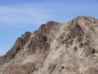
At the end of the geology field trip, we drove south to Amboy Crater, near I-40, and hiked across the old lava flows up into the cinder cone itself. That's Jon and Kirsten in the center of the second row. It was a very nifty spot; the panoramic view from the top of the cone was wonderful. |
|
|
|
|
|
|
|
|
|
|
|
|
|
|
|
|
|
|
|
|
|
|
|
|
|
|
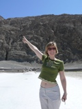
| Death Valley |
|
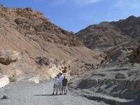
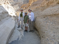
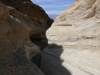
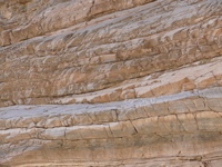
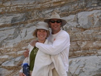
Now Peng Yav, a classmate, and I have started the return drive. We went north to Death Valley first for a quick hello (I've taken more extensive Death valley photos before; see my Death Valley, 2000 and Death Valley (aerial), 2000 sets). The first photo is Monika, my Astrobiology professor; she's pointing to the (invisibly small, at this distance) Sea Level sign on the rock face at Badwater, and she's standing some 280 feet below sea level. We then met up with her beau, Stan, and went on a hike up Mosaic Canyon, near Stovepipe Wells. |
|
|
|
|
|
|
|
|
|
|
|
|
|
|
|
|
|
|
|
|
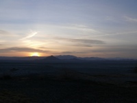
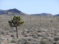
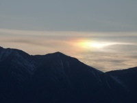
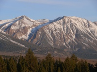
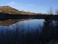
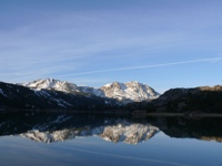
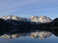
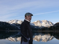
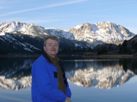
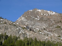
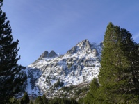
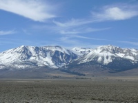
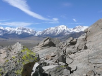
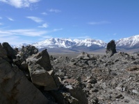
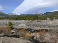
| Highway 395 |
|
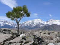
Driving north on Highway 395 with Peng. This is one of my all-time favorite roads. As you drive north, you transition from desert with Joshua trees (my favorite kind of tree!) to stunning alpine views. The second photo is of a sundog at sunset, just south of Mammoth Lakes. We spent the night at Mammoth Lakes, and hit the road before dawn to see the sunrise on the mountains. The photos from the fourth one onward were taken on the June Lake side loop off of 395, which rejoins 395 just south of Mono Lake. |
|
|
|
|
|
|
|
|
|
|
|
|
|
|
|
|
|
|
|
|
|
|
|
|
|
|
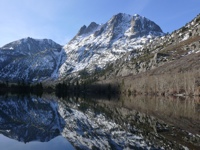
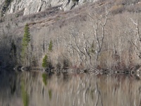
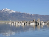
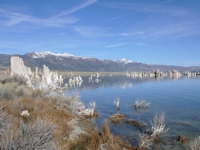
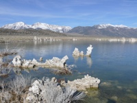
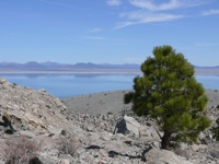
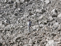
| Mono Lake |
|
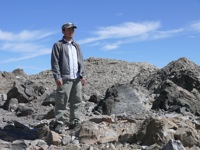
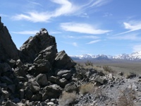
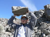
At Mono Lake we wandered around Navy Beach for a little while, then took a short hike up and around Panum Crater, a cinder cone near the lake. Peng was able to perform great feats of strength with the pumice boulders there. (I've taken a few Mono Lake photos before; see my Southwest, 1999 set.) |
|
|
|
|
|
|
|
|
|
|
|
|
|
|
|
|
|
|
|
|
|
|
|
|
|
|
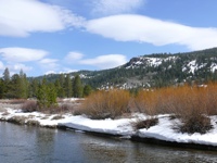
| Homeward Bound |
|
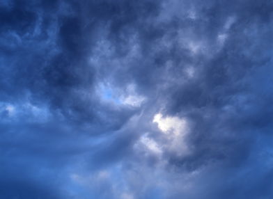
395 to 89 to 50 to 80 to 680 to San Jose. Somewhere along in there, we stopped for a photo of some lovely orographic clouds, and some alpine meadow views. |
|
|
|
|
|
|
|
|
|